Publications
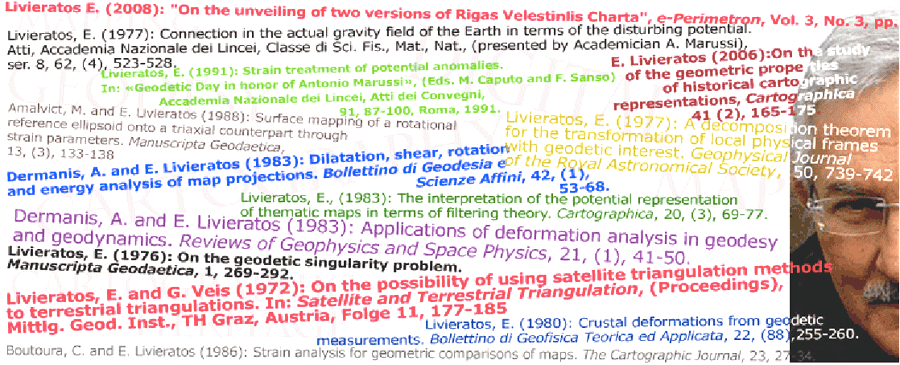
The list of publications starts in 1971 with a paper in Greek, appeared in the Technical Chronicles, the official journal of the Technical Chamber of Greece: a review paper concerning the optical-mechanical scanning of the terrestrial thermal radiation. The first research paper in English, presented in an international Conference held in Graz, Austria, was: E. Livieratos and G. Veis 1972, "On the possibility of using satellite triangulation methods to terrestrial triangulations", published in the Conference Proceedings Satellite and Terrestrial Triangulation, Mittlg. Geod. Inst., TH Graz, Austria, Folge 11, 177-185. This paper was the precursor of the relevant doctoral dissertation presented in 1974
The list
Since then, a number of publications of various typologies sets the list, mainly in Greek and in English with some few in Italian. In the list given here there is no distinction between the type of publications. In some cases, especially for the recent papers, the link to a pdf-file gives direct access to the full-paper. The list is also developing in chronological order from 1971 to the present-day, with the recent publications ordered to the top
|
In general, one can notice that, the first part of the publications (the older, from the bottom of the list upwards) concerns geodetic issues while the second part, to the top of the list, concerns cartographic issues
Geodesy to Cartography shift
This has to be expected due to the shifting of insterest to cartography from the mid-1990s onwards, keeping however alive the geodetic thinking in approaching the many issues of cartography, mapping, representation and especially those of cartographic heritage, where e.g. the analysis of the geometric content of the old maps, the comparative techniques used and the deformation issues involved (e.g. in 3D digitisation of globes and of the undulated old map-surfaces, due to various reasons) require the implementation of concrete geodetic methods and techniques for setting up strategies and solutions
Analytical tools in cartographic heritage+ geodetic thinking
The field of the geometric and/or the projective analysis, even the interpretation and evaluation of the old maps (or other cartografic objects i.e. the globes) as well as the problem of the comparision of two or more old maps for answering questions e.g. on the way they were constructed require implicit familiarity with the geodetic foundamentals, as it is e.g. the transformation issues, the optimal fittings etc, especially when the digital techniques are involeved in the processes. In other words the geodetic thinking is very supportive and at the end useful in the treatment of the geometric part of the cartographic heritage, which it is very distinct in the Terms of Reference (ToR) of the relevant ICA Commission on Digital Technologies in Cartographic Heritage. Two, among the five items listed in the ToR, are affine to geodetic approches, the second and third items
- (item 2) Development of methodologies and standards applied on proper two- and three- dimensional digitization of Cartographic Heritage objects, materials and documents
- (item 3) Study and implementation of analytical tools applied on the comparative research concerning the geometric and thematic content of old maps

