Libraries+Archives
It is well known internationally the close relation of maps and items related to cartography and mapping (i.e. atlases, globes, geography-books, itineraries, aerial photographs, spatial inventories, land and cadastre documents, etc.) with Libraries, Archives, Collections and scientific and cultural Foundations dealing primarely or incidentally with maps and affine activities. Recently, the interest of the Museums for maps, mapmaking and cartography, in its large context, is intensifying as well, although by long tradition numerous Museums keep important map collections. If maps and cartography, in their future perspective, are common factors in all these universal establishments of social and cultural life, then an integrating tool, a mechanism in general, is necessary to facilitate properly the encounter of Libraries, Archives, Museums and Collections in a common ground
The integrating factor
Cartographic Heritage in its general and special contexts seems to be the proper key-issue which could and should play an important role as the connective tissue in integrating the role of Libraries, Archives, Museums and Collections in their common duty and concern to maintain, secure, preserve, reveal and diffuse to society the cartographic material they are responsible to keep and curate in their institutions. It is of paramount importance today the introduction of a common concept as integrating factor which facilitates the attractivity of Libraries, Archives, Collections -mainly private- and Museums around a common ground of understanding, perception and synergies. Cartographic Heritage is a bright example for this, especially today that these establishments have to administrate limited resources and various types of shortenings in running their duties to the society
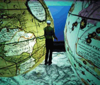
The Digital
The coupling of Cartographic Heritage with the Digital -a top challenge in 21st Century- has come to upgrade and broaden the social and cultural role, mission and impact of Libraries, Archives, Collections and Museums. The almost total merging of mapping sciences and technologies with the digital mainstream in everyday life (geospatial engineering, geoinformation, geovirtuality, digital geoimaging, geoinfographics etc) benefits decisively the work of Libraries, Archives and Collections in managing their available cartographic reserves and the tasks of Museums in using cartographic supporting material for their visitors. Undoubtedly, the Digital has now ventured to influence the life of Map Libraries, Map Archives, Map Collections and also Museology, where the use of maps in a variety of media platforms, especially the digital, is proved to be more and more attractive to the general public
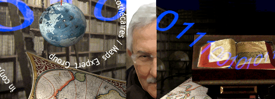
Map & Geoinformation Curators Group (MAGIC)
![]()
A new initiative in meeting the tasks of Map Librarianship with Cartographic Heritage embedded into the Digital, is now in progress in the context of the mission, activities and synergies of the Commission on Digital Technologies in Cartographic Heritage of the International Cartographic Association
The recently established Map & Geoinformation Curators Group is supported by the ICA Commission in developing innovative relevant synergies in the field of Cartographic Heritage and its Digital interactions
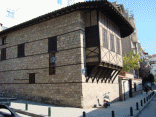
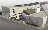
Kozani Map Library
Typical examples of good practice in the way described above are the actions of a number of prominent Libraries in treating their map-reserves the digital way. Digital map exhibitions, the use of the web, digital access to inventories, digital cartographic support to numerous tasks is already a common practice in the major Libraries (e.g. the Library of Congress, the British Library, the Bibliothèque nationale de France, the Biblioteca Nazionale Marciana of Venice, the Biblioteca Nazionale Centrale of Florence, the National Library of Scotland, the Library of the Institut Cartogràfic de Catalunya in Barcelona, the David Rumsey Historical Map Collection, etc.)
|
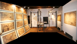
Relevant examples in Greece of equally good practice, mutatis mutandis, merit distinction, just for their ambitious deployment in smaller scale. This is the case of the Kozani Map Library Project (el) a joint venture of the City of Kozani [W] the historic and prestigious Kozani Municipal Library (el) and the Aristotle University of Thessaloniki, a joined effort started in 2008
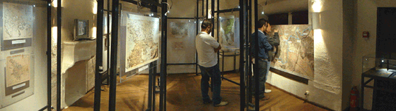 |
| The Kozani Map Library main hall |
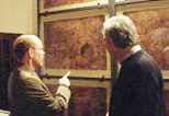
Margarita Samourka Map Collection
![]()
The outstanding Margarita Samourka Map Collection is a most important private map collection documenting the mapping of Greece in the period 1420-1800 (the relevant web-site is now under construction; see for a provisional introduction). This map collection is documented in the Academy of Athens prised volume: G. Tolias 2012, Mapping Greece, 1420-1800: Maps in the Margarita Samourkas Collection. Catalogue of maps compiled by Leonora Navari; Oak Knoll Press, ‘t Goy-Houten, New Castle, Delaware - Athens: Hes & De Graaf Publishers and National Hellenic Research Foundation, p.546